Manufacturer: Northrop Grumman (for NASA/USGS)
Type: Earth Observation
Mass: 2,630 kg (5,800 lb)
Orbit: Sun-synchronous, 705 km (438 miles)
Power: Solar arrays, 3 kW
Mission Duration: 5 years (expected)
Instruments: OLI-2 (Operational Land Imager), TIRS-2 (Thermal Infrared Sensor)
Launch Vehicle: Atlas V 401
Description
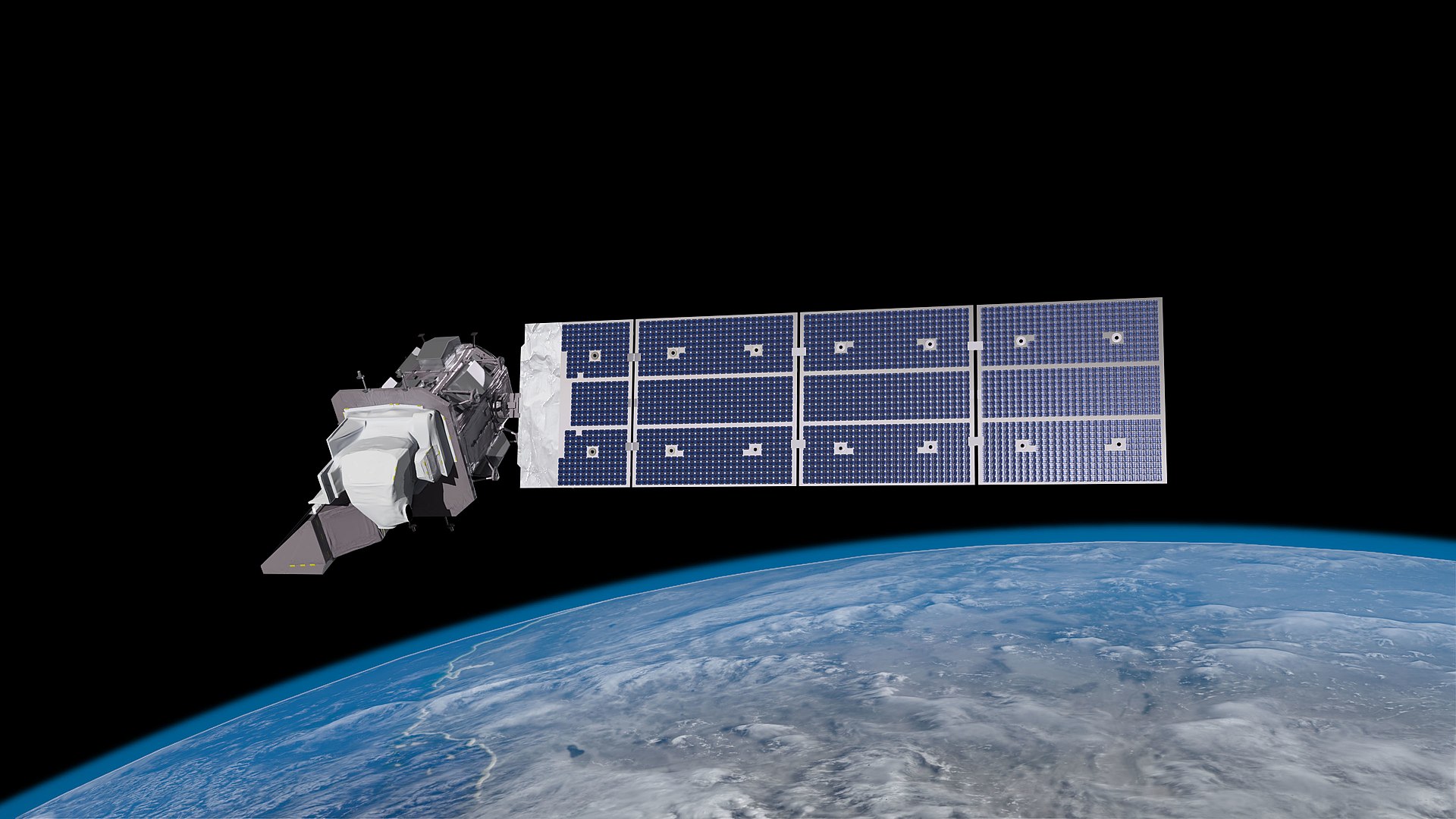
Landsat 9 is an Earth observation satellite developed by NASA and the U.S. Geological Survey (USGS). It was launched on September 27, 2021, aboard an Atlas V rocket from Vandenberg Space Force Base, California. As the latest addition to the Landsat program, which has been monitoring Earth’s land surface since 1972, Landsat 9 continues the mission of capturing high-resolution imagery for applications in land use, agriculture, forests, water resources, and climate change.
The satellite orbits in a sun-synchronous, near-polar orbit at an altitude of 705 kilometers (438 miles). It carries two primary instruments: the Operational Land Imager 2 (OLI-2) and the Thermal Infrared Sensor 2 (TIRS-2). OLI-2 captures data in visible, near-infrared, and shortwave-infrared bands, while TIRS-2 measures thermal infrared radiation, which is useful for tracking land surface temperatures and water use.
Landsat 9 provides spatial resolutions of 15 meters for panchromatic images, 30 meters for multispectral images, and 100 meters for thermal imaging. It revisits the same location every 16 days, ensuring consistent data collection. Compared to its predecessor, Landsat 8, it has higher radiometric resolution, allowing for more detailed and precise observations.
This mission plays a crucial role in climate change research, disaster response, land use planning, and natural resource management. The data collected is freely available through USGS’s Earth Explorer and other platforms. Landsat 9 works in tandem with Landsat 8 to ensure continuous global coverage and reliable Earth observation.